


Petten: de Hondsbossche duinen
Background
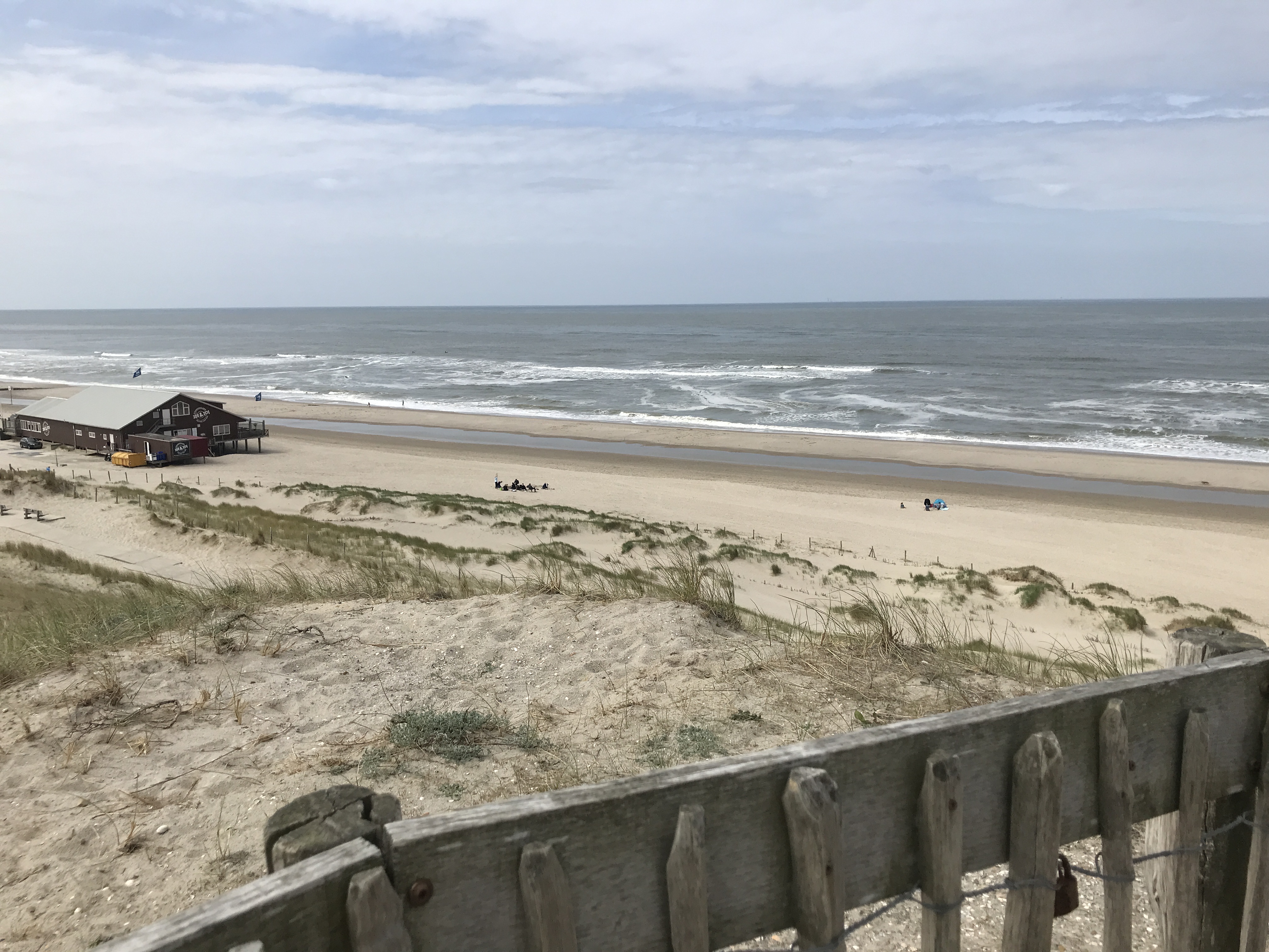
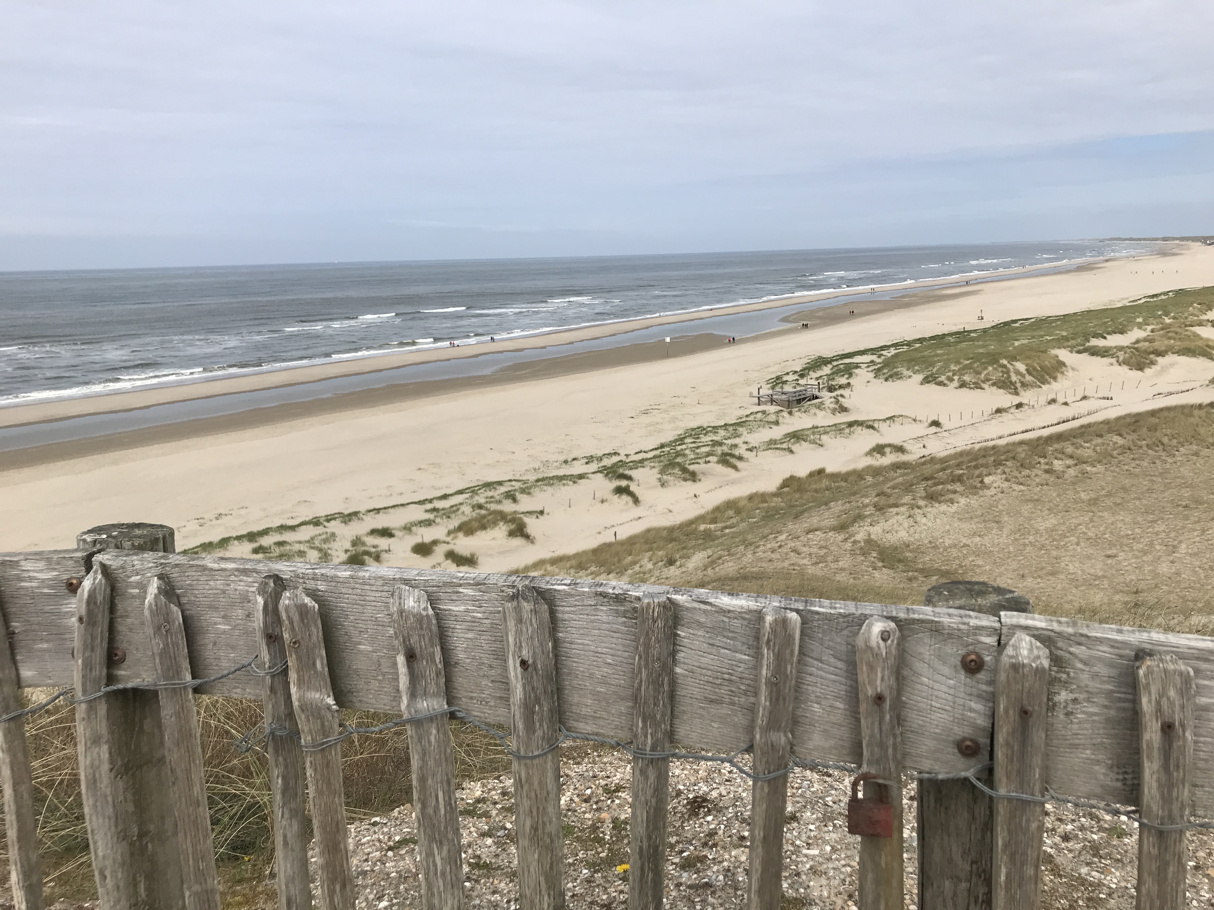
The Uitkijkduin near Petten lies on the north side of the Hondsbossche dunes. An artificial dune built to protect the hinterland from the sea. Because there was a hardened barrier, the Hondsbossche and Pettemer Zeewering, which no longer met safety requirements. To comply again, you could opt for a wider and higher hardened dike or for land expansion towards the sea. The latter was chosen. This created a new dune landscape with adjoining beach. And therefore a lot of extra nature and recreational space which together offer protection against flooding.
Why here?
At this spot, the Netherlands has reclaimed land from the sea; it is not a natural dividing line. And even if it were, coastal erosion may still occur. Or maybe the coast does get stronger with age, due to plant and animal activities. Using the CoastSnap station at Uitkijkduin Petten, we want to better understand when the waterline changes and under what conditions.
The Hondsbossche dunes are focus of various research projects. For example, ReAshore and C-Scape, led by TU Twente, are looking at the interaction between sand movement, humans and nature. The Dunefront project focuses on establishing guidelines to design and test dune-dike systems and considers the Hondsbossche dunes as one of the sites to learn from. The information collected at these cameras is made available to these studies. On the south side of the Hondsbossche Dunes, near Hargen, a permanent camera has been installed to monitor sand drifts and water movement. This information can also be used in these research projects.