


Texel: Prins Hendrikzanddijk
Background
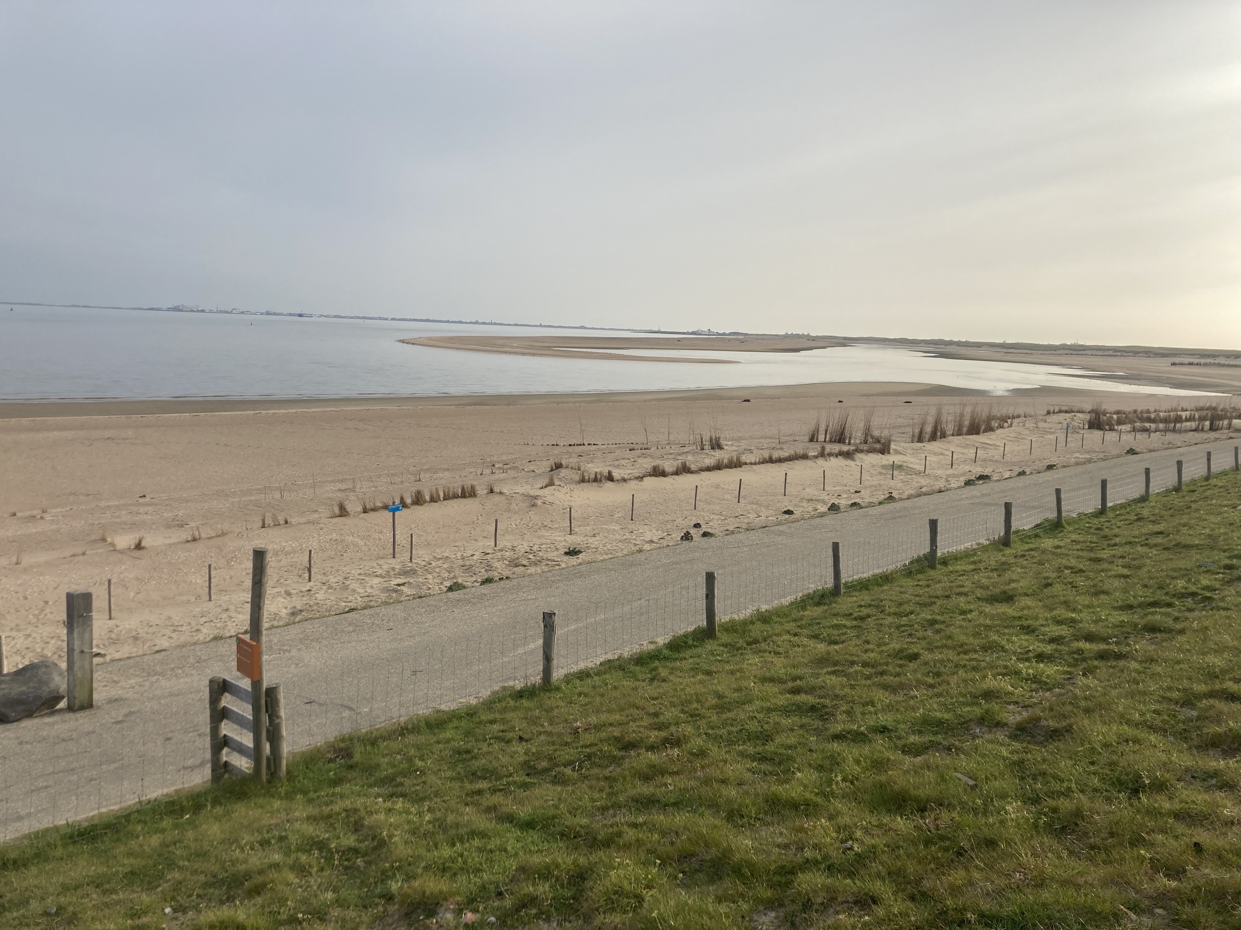
The Prins Hendrikzanddijk is part of the Wadden Sea dike, which protects Texel from high water from the Wadden Sea. When the dike was tested in 2006, it was found that it no longer met the requirements for water safety. The dike was therefore reinforced by constructing a sand dike over a length of 3 kilometres. The sand reinforcement covers 5 million m3 of sand, spread over an area of 200 hectares. The result is a new dune landscape against the old dike and a salt marsh landscape on the sea side. Thanks to the dynamic nature of the area, this part of the Texel seawall will once again meet the strict requirements of water safety for decades to come.
See the story of the Prins Hendrikzanddijk below.
Why here?
Since the completion of the sand dike in 2019, sand has been slowly spreading along the waterline. In the process, the constructed sand barrier is slowly expanding through the formation of sand ridges around the waterline. The development of these ridges depends on wave and current conditions. Using the CoastSnap station at the Prince Hendrik Zanddijk, we want to better understand when the waterline changes and under what conditions. This study is part of a larger research project by Utrecht University and Delft University of Technology, under the name EURECCA, investigating the development of the sand dike. With the knowledge gained from this project, we aim to better understand how sandy reinforcements can be applied in similar environments. See a short video on the background to the research below.
The flood defence function of the dune area that was created here is being studied within the Dunefront project.Here, the main focus lies on the trade-off between safety on the one hand and ecological values, habitats and sand dynamics on the other.